











Six Futuristic Developments with GPS Technology
Aug
We at PAJ GPS are constantly monitoring the advancement of the GPS technology industry. We aim to bring top-quality products to the market that offer the best user experience and ensure maximum security for our customers. Additionally, we provide information about advancements in GPS technology, benefits, and DIY tips through our blogs.
In the last blog, we talked about The Evolution and Impact of GPS, where we discussed GPS’s history and its development over the years. We have seen the uses and benefits of PAJ GPS trackers and GPS technology. Let’s now look at new advancements happening in GPS technology, and also at six areas where we think GPS technology could potentially evolve.
GPS vs GNSS
GPS is one country’s satellite network, built and run by the US. GNSS is the umbrella term for all the networks working together, including GPS, BeiDou ( China), GLONASS ( Russia), and Galileo ( Europe).
When a device relies on GPS alone, it’s getting the location data from nearly 30 satellites. When it uses full GNSS, it can pull from more than 100 satellites across all four networks at once. The numbers make a difference in places where signals struggle, like dense cities with tall buildings or narrow streets, or even heavy tree cover.
More satellites give the device more signals to work with. This can help it lock onto a location faster and maintain better accuracy. So, people often say “GPS,” but “GNSS” is the more accurate term when referring to multiple satellite networks.
1. Use in RoboCar
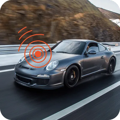
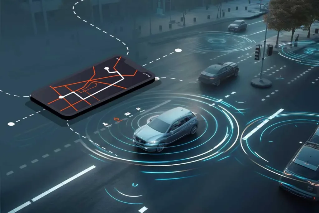
You are on a journey in your car and halfway through, you feel tired and want to have a nap, but you don’t have time to waste. So, you give commands to the car to drive automatically—it feels like something out of a ‘Back to the Future’ film. But it’s not. Robocars have been in development for some time. It is a safe bet to say they are the future, and for them to accurately move in the direction and lead you to a precise location, GPS technology needs to be there for geolocation data that assist in route planning and positioning.
2. Precision Agriculture Powered by RTK
Agriculture is the backbone of every growing society. However, climate changes have severely impacted many farmers. Each year, traditional farming methods result in the loss of ‘millions of dollars’ worth of crops in developing countries.
Farmers need to be taught new methods of farming that integrate GPS into precise farming techniques, such as automated tractor operations, crop planting, and resource mapping, which can increase efficiency and reduce environmental impact for these farmers and get a good yield.
Getting this right depends on precision. Standard GPS places a tractor within a few meters of its true position, fine for driving, but not for planting seed rows or spraying fertiliser. That margin of error means wasted seed, chemicals, and lower yields.
Two technologies tackling it are :
- RTK (Real-Time Kinematic positioning): Corrects the satellite signal using a nearby reference station. Brings accuracy down to a few centimetres.
- Galileo’s High Accuracy Service (live since 2025): Delivers decimeter-level accuracy straight from the satellite signal. No reference station needed.
Together, they’re moving high-precision positioning out of specialist surveying gear and into everyday farm environments
3. GPS-powered watches
GPS watches are popular these days, and most come with features like health monitoring, setting fitness goals, and navigation. However, we think there is space for much more developments. Adding an emergency response service would greatly benefit people with health risks. The accuracy of fitness data also needs some improvements.
4. Building Smart Cities
If you have been to any of the major cities in the world, you likely have already been subjected to long hours of traffic blocks. It is even worse on Friday evenings. With the increasing number of vehicles on the road, it becomes increasingly difficult to manage traffic flow. This congestion significantly reduces productivity and hampers the overall development of the city. Integrating GPS technology to manage traffic flows, adding GPS to public transportation to re-route through fewer traffic areas, and guiding emergency services efficiently through big cities becomes easy.
Jamming, Spoofing & Resilient Navigation
GNSS signals travel a long way to reach your device, and by the time they arrive, they’re weak enough to be disrupted. Two types of interference are becoming more common:
- Jamming: A stronger signal drowns out the real one, so your device loses its fix and tracking stops.
- Spoofing: A fake signal feeds false location data, so the device keeps showing a location, just the wrong one.
You’re unlikely to run into this day-to-day, since it shows up mostly in aviation, shipping, and regions near conflict zones. But, the same fixes protecting aircraft navigation are what make personal and pet trackers more dependable too.
Here’s what that looks like in practice:
- Anti-jamming hardware: Newer receiver chips are built to filter out jamming interference before it throws off a position fix.
- Signal authentication: Galileo’s OSNMA, fully operational since July 2025, adds a digital signature to its satellite signal so a device can confirm the data is genuine and hasn’t been faked.
- Multi-layer fallback: Combining a motion sensor along with GNSS can keep tracking ongoing even though the satellite signal is weakened/disrupted.
5. Disaster Management and Environmental Monitoring
In the last decade, there has been a rise in natural disasters worldwide. Climate change is wreaking havoc, displacing millions of people and causing widespread suffering due to earthquakes, flooding, and other natural events.
Standardizing GPS technology to monitor environmental changes and natural disasters in real-time, such as tracking glacier movements, water levels, and wildlife migration, monitoring and predicting land shifts can save millions of lives every year and lower the effects of natural disasters.
Staying Accurate Where GNSS Signals Can’t Reach
GNSS needs a clear view of the sky. So signals weaken or drop entirely in tunnels, parking garages, and dense city blocks. This is called a GNSS-denied environment.
Following are some of the methods devices use to estimate position when GNSS is not working.
- IMU (Inertial Measurement Unit):
-> Tracks motion and direction using the internal sensors and estimates movement.
- INS (Inertial Navigation System)
-> Builds on IMU data over time to pinpoint the position as the device keeps moving. - Wheel or motion odometry
-> The gap between the GNSS updates is countered by movement data like a vehicle’s wheel rotations. - Map matching:
-> Uses the mapped data to correct small positioning errors.
Combined, these methods are called sensor fusion. They can’t replace GNSS long-term, since small errors add up over time, but they bridge the short gaps very well.
6. Artificial Intelligence ( AI) & Edge Computing: Beyond Location Data to Smarter Predictions
For most of GNSS history, a tracker’s job was simple. Find and report where something is. AI is shifting that job from reporting a location to making sense of it.
Some of them are :
- Theft-pattern detection
- Route optimization
- Predictive maintenance
- On-device processing
Battery life is usually the biggest complaint people have with GPS devices. On-device processing is one of the more practical ways manufacturers are stretching it further.
7. GPS systems on other planets.
Colonizing other planets and interplanetary travel has always been the human race’s dream. We are slowly but steadily moving towards it. Advanced GPS-like technologies like Earth’s GPS systems could be developed for navigation on other planets or moons, aiding future space missions and interplanetary travel.
Connectivity & Power: What Keeps Trackers Running
Location accuracy is only half the story. The rest comes down to connectivity and battery life. 5G adds low latency and room for far more connected devices, while NB-IoT (Narrowband IoT ) and LTE-M (LTE Machine Type Communication) trade speed for efficiency, stretching battery life from days to years.
Power sources are improving too. Solar charging trickle-charges a device using ambient light, and solid-state batteries pack more energy into a smaller, more durable form than standard lithium-ion. Together, these are what decide whether a tracker is something you check daily or forget about because it just works.
Advancement in GPS technology is inevitable and with its advances, our potential for growth as a species is also very high. However, these advancements would depend on continued innovation in satellite technology, software algorithms, and integrative systems combining GPS with other data sources and technologies.
With continuing GPS technology development, what do you imagine our future will be like, and will it reshape our interaction with the world and beyond?
With the development in GPS technology, enhanced precision and reliability will come in AV and drones to make efficient operation and smooth travel.
One of the main complaints people raise about location tracking is accuracy, especially when navigating through malls, airports, and large office buildings. But what if we integrate GPS technology with Wi-Fi, Bluetooth, and sensor technologies.